- Accession Number:
- 1998.80.61
- Scope & Content:
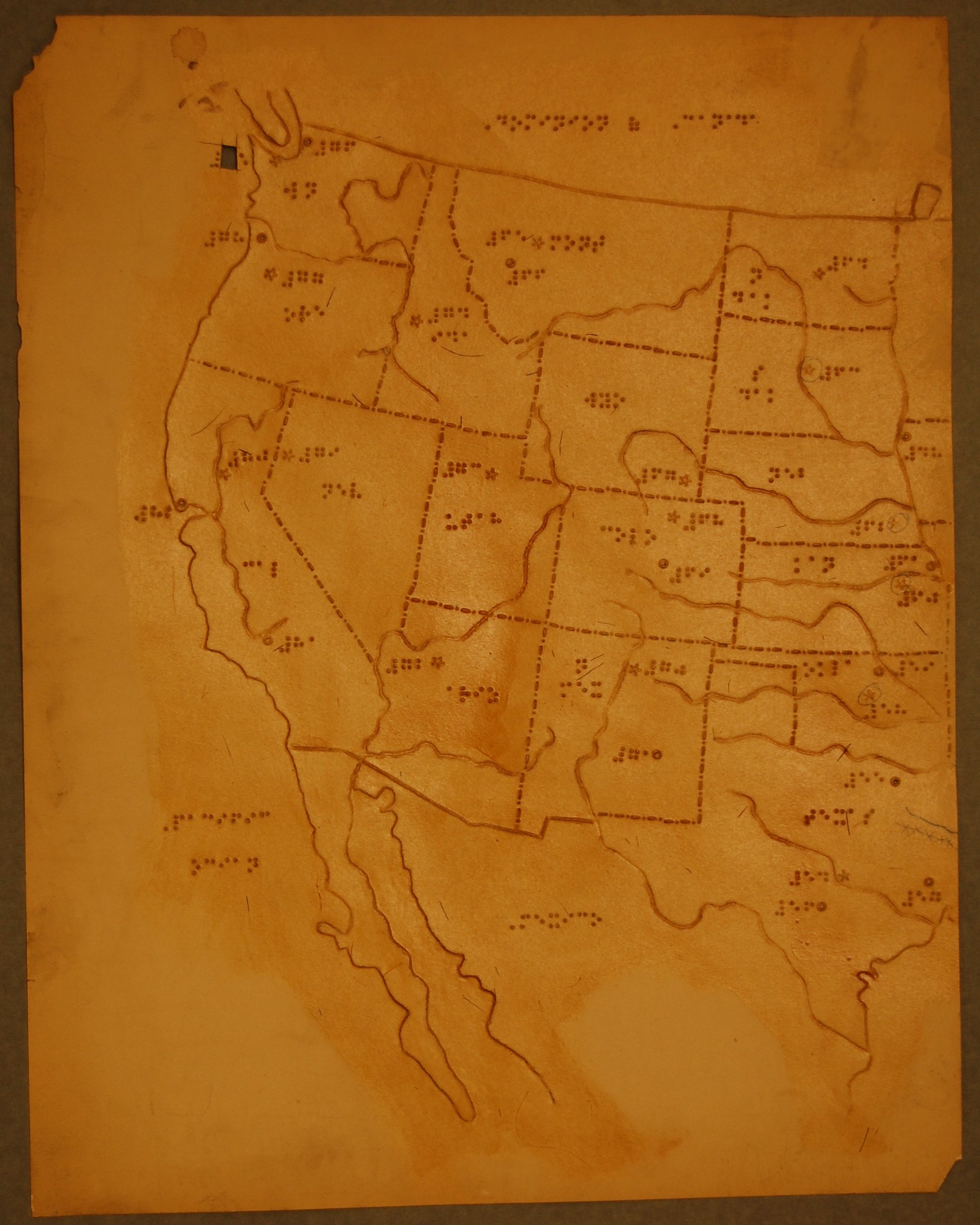
- Mapped area is shellacked and indicates states, major rivers, capitals, and major cities; entire landmass is smooth; braille labeling in English provides abbreviated names of states; capital cities are indicated by raised stars and other major cities by raised circles; cities are further identified by braille numbers; major rivers are indicated by depressed lines; raised lines of alternating dots and dashes identify state borders.
- Interview Date:
- / /
- Collection:
- APH Collection
- Credit Line:
- APH Collection, 1998.80
- Subjects:
- Geography Maps for the blind and visually impaired United States