- Accession Number:
- 1998.80.73
- Scope & Content:
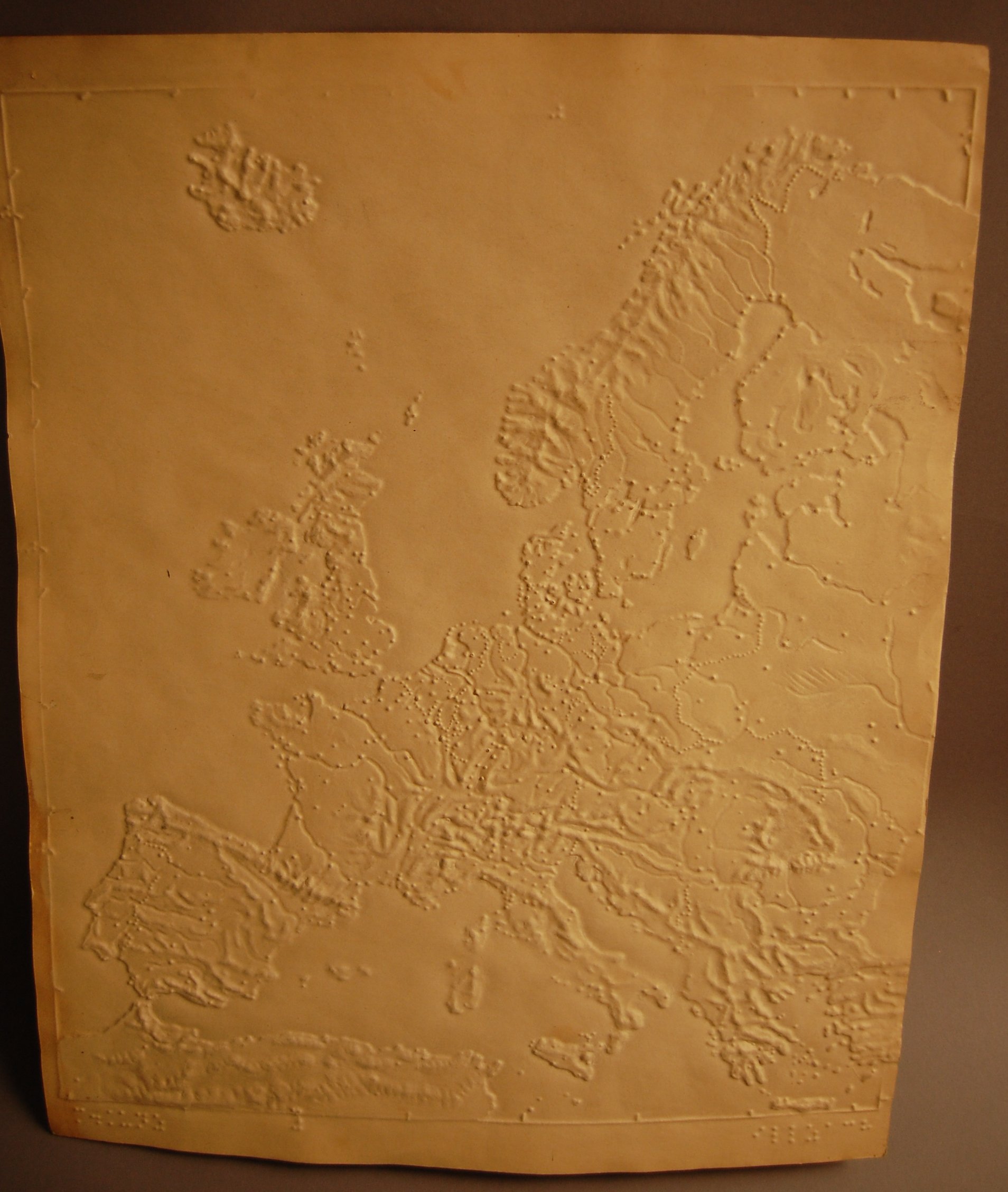
- No title on map; creator's name and location provided in braille at bottom; no labeling on mapped area; Iceland is included; major bodies of water are smooth; landmasses slightly higher with raised mountain ranges; cities indicated by raised dots; rivers are depressed; country boundaries shown by raised dotted lines; latitude and longitude indicated around border of map by short raised lines and braille numbers. Martin Kunz was director of the Blind Institute at Illzach, Germany and the leading producer of maps in Europe during the 1890s.
- Creator:
- Kunz, Martin.
- Interview Date:
- / /
- Collection:
- APH Collection
- Credit Line:
- APH Collection, 1998.80
- Publisher:
- Illzach, Germany
- Publisher Place:
- Illzach, Germany
- Subjects:
- Maps for the blind and visually impaired Geography Europe