- Accession Number:
- 1992.324
- Scope & Content:
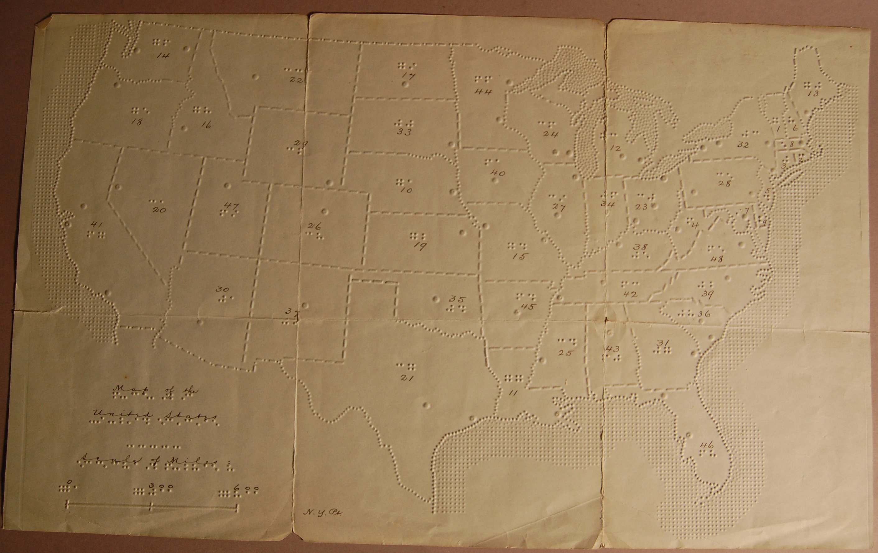
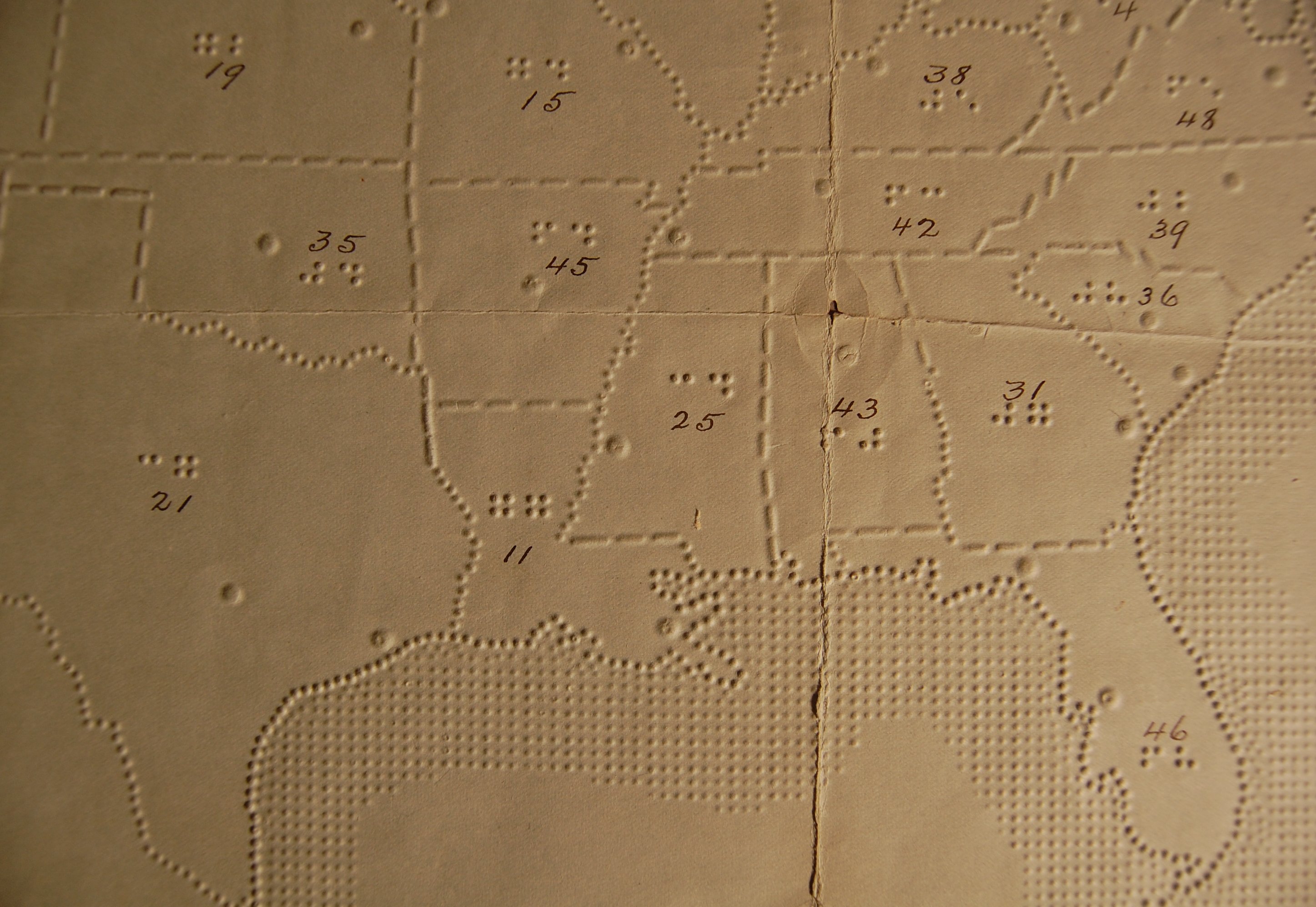
- Map includes a scale of miles and New York point labeling; each state is numbered. Print equivalent is also handwritten in ink. Raised dots indicate capitals and major cities. Embossed on grayish-blue paper. Tears along fold lines and bottom left corner.
- Interview Date:
- / /
- Subjects:
- Maps for the blind and visually impaired Maps Tactile graphics United States